Tax Card Fire Hydrant/District Maps (including Flood) Other (if no link, still under construction)
Pasquotank County Property Card

(click HERE for previous version)
PIN: 890401064178 MAP: P87-26 Deed Book: 606 / Deed Page: 420 / Date: 0

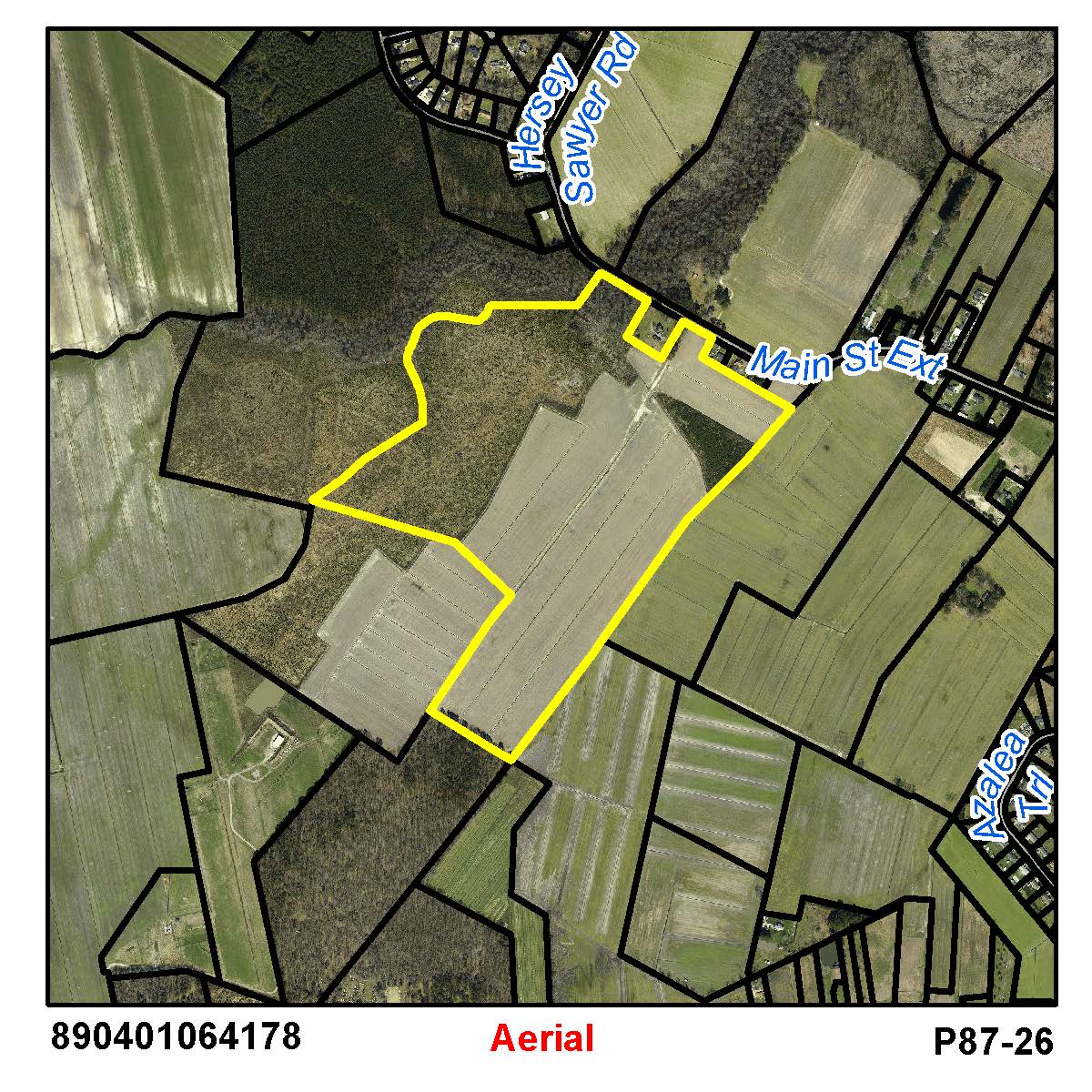
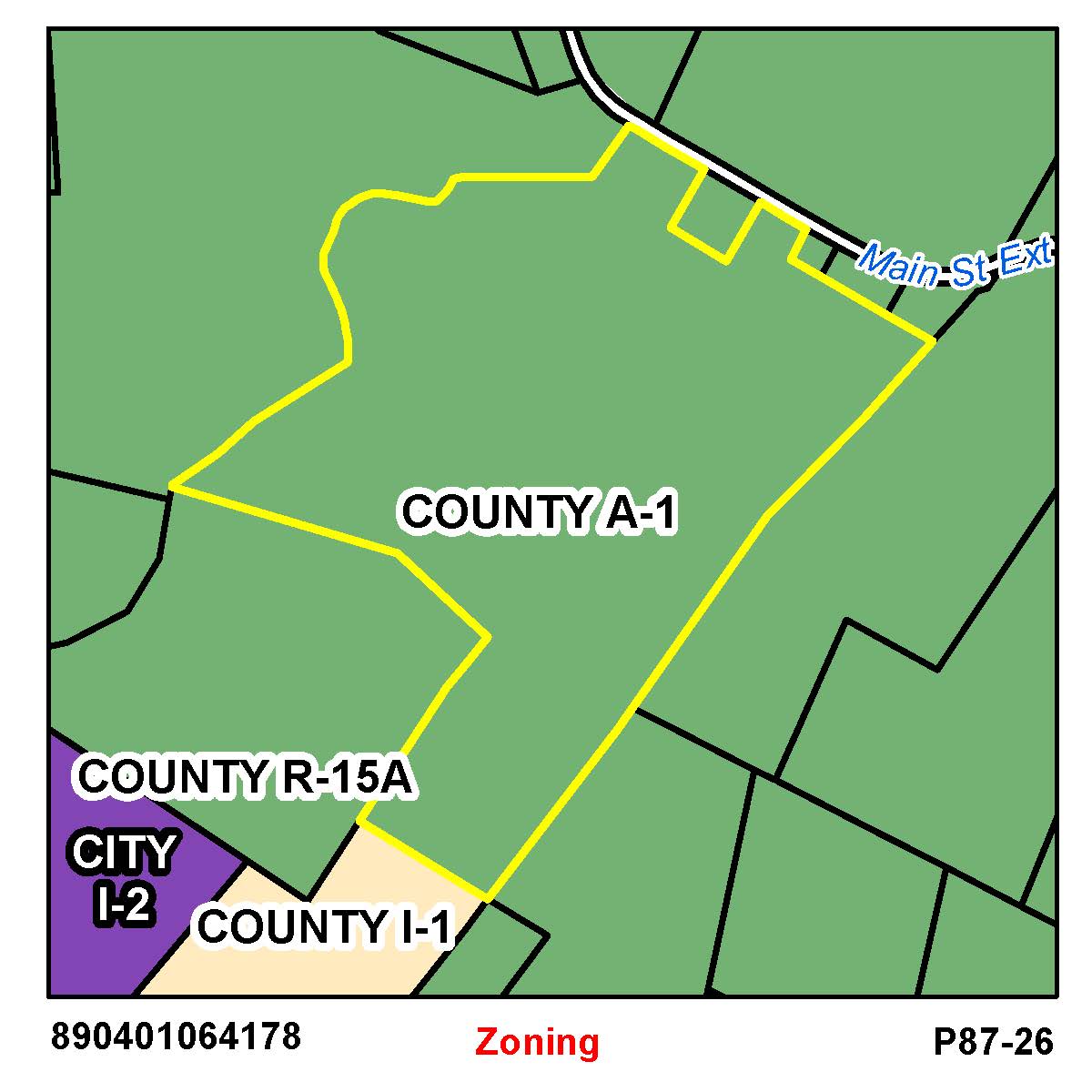
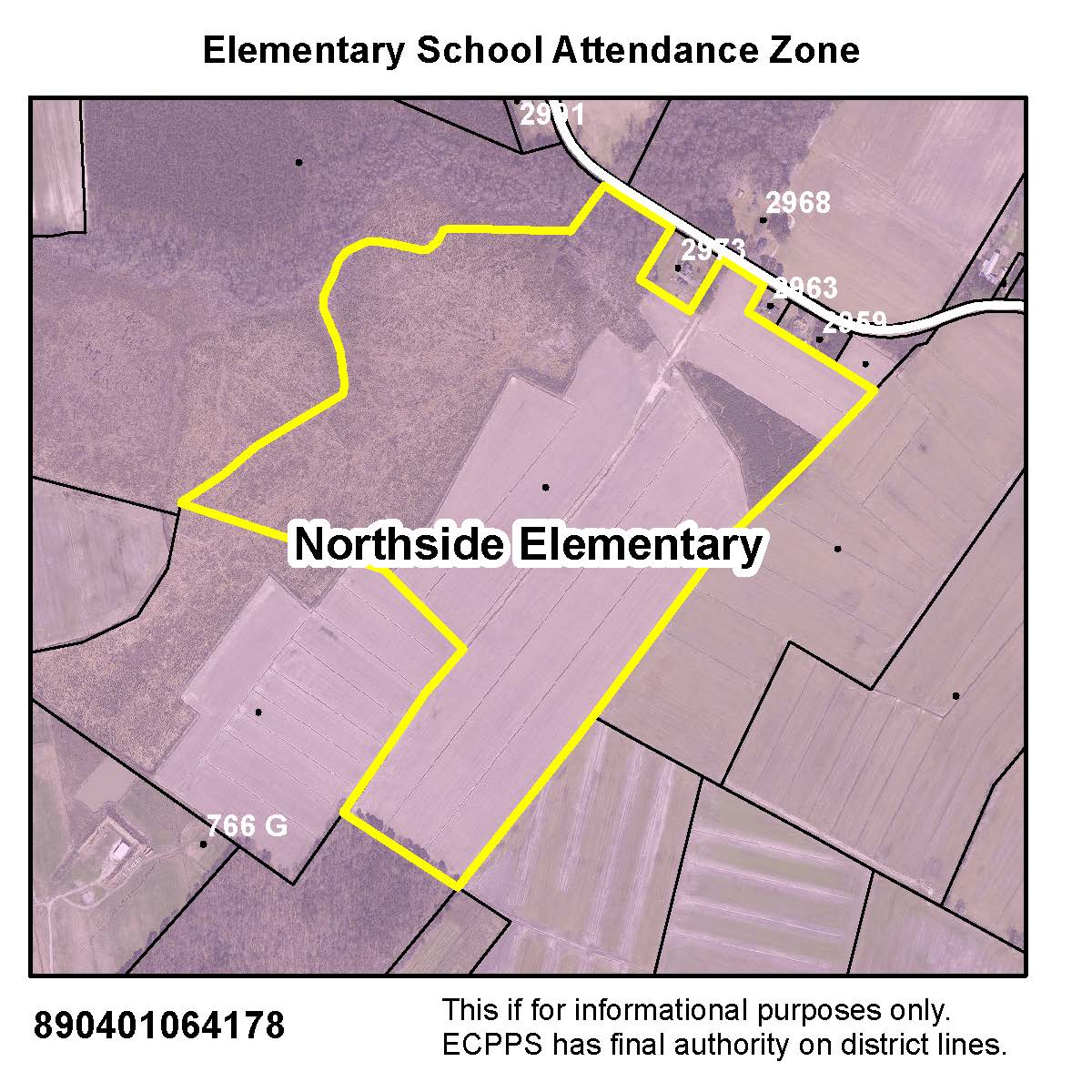
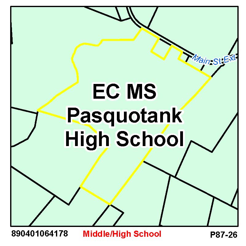
Location: 00000 W MAIN ST EXT


Prior
Evaluation Year: 2006

Current
Evaluation Year: 2014

JENNINGS, S CLARENCE - ETAL
217 LAMBS RD

CAMDEN, NC 27921

Acct: 0058014

Estimated County Tax: $649.88


Land
$1693300
$1693300
Use Land
$74200
$84400
Building
$0
$0
Total
$74200
$84400
Assessed
$74200
$84400
     
Notes

Click on any thumbnail for a full size map.

Pasquotank Interactive GIS Map

Aerial Map  
Nearby Sales Flood Maps - effective Dec 21, 2018
Elevation Zoning

Historic Imagery

1996
2003
2003 Post-Isabel
2008
2010
2012
2016