Tax Card Fire Hydrant/District Maps (including Flood) Other (if no link, still under construction)
Pasquotank County Property Card

(click HERE for previous version)
PIN: 7969 809278 MAP: P110-36A Deed Book: 1526 / Deed Page: 665 / Date: 20241004

Location: 00640 FIRETOWER RD


Prior
Evaluation Year: 2006

Current
Evaluation Year: 2014

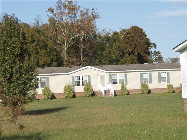
STEDT, DAVID N & LORIE L
1916 KEETER RUN

CHESAPEAKE , VA 23320

Acct: 0060408

Estimated County Tax: $1796.41


Land
$71100
$76800
Use Land
$0
$0
Building
$104000
$156500
Total
$175100
$233300
Assessed
$175100
$233300
     
Notes WD CP UNDER CONST REVISIT

Click on any thumbnail for a full size map.

Pasquotank Interactive GIS Map

Aerial Map  
Nearby Sales Flood Maps - effective Dec 21, 2018
Elevation Zoning

Historic Imagery

1996
2003
2003 Post-Isabel
2008
2010
2012
2016