Fire Hydrant/District | Maps | Save as PDF; |
---|
Pasquotank County Property Card
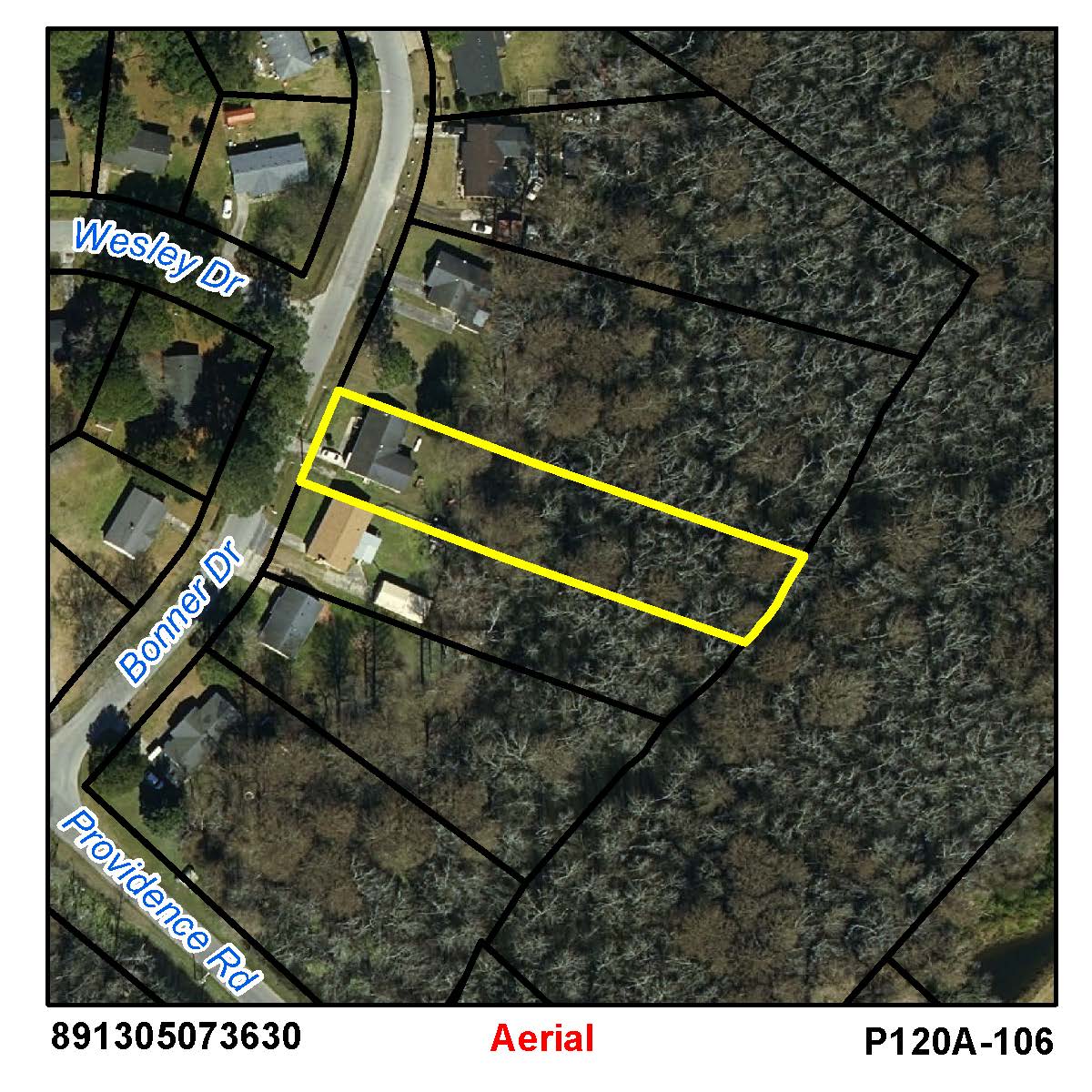
as of January 1, 2024PIN: 891305073630 | PID: 0014141 | MAP: P120A-106 | Deed Book: 1429 / Deed Page: 394 / Date: 20211025 | ||
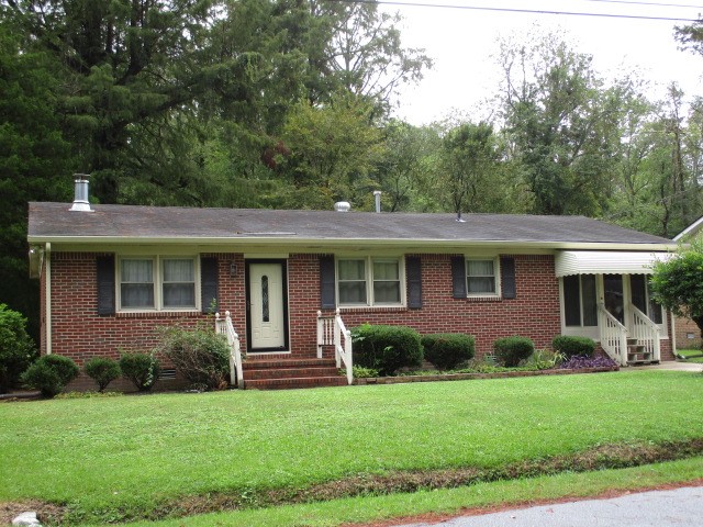
Location: 00500 BONNER DR |
Prior |
Current |
|||
---|---|---|---|---|---|
PASQUOTANK COUNTY
|
Land | $24700 |
$24700 |
||
Use Land | $0 |
$0 |
|||
Building | $69300 |
$98800 |
|||
Total | $94000 |
$123500 |
|||
Assessed | $94000 |
$123500 |
|||
Notes | REAR SWAMPY 20220712 |
Land | ||||
---|---|---|---|---|
Primary | 27150.0 sq ft | @ $1.14/sq ft | $24690.0 | |
Total Acres: 0.623 | Total Land Value: $24700 |
Sales Data | ||||||
---|---|---|---|---|---|---|
Date | Type |
Price |
Source |
Owner | Deed |
Assessment |
No Sales Data for this parcel |
OWNER | Address | Sale Price | Date |
OUTBUILDING DATA
Type | Qty | Year | Size1 | Size2 | Grd | Cnd | Value |
---|---|---|---|---|---|---|---|
0 |
0 |
0 |
0.0 |
$0.00 |
|||
0 |
0 |
0 |
0.0 |
$0.00 |
|||
0 |
0 |
0 |
0.0 |
$0.00 |
|||
0 |
0 |
0 |
0.0 |
$0.00 |
|||
0 |
0 |
0 |
0.0 |
$0.00 |
|||
0 |
0 |
0 |
0.0 |
$0.00 |
|||
0 |
0 |
0 |
0.0 |
$0.00 |
|||
Total Outbuilding Value |
$0.00 |