Tax Card Fire Hydrant/District Maps (including Flood) Other (if no link, still under construction)
Pasquotank County Property Card

(click HERE for previous version)
PIN: 890302969934 MAP: P89-202 Deed Book: 1187 / Deed Page: 293 / Date: 20131007

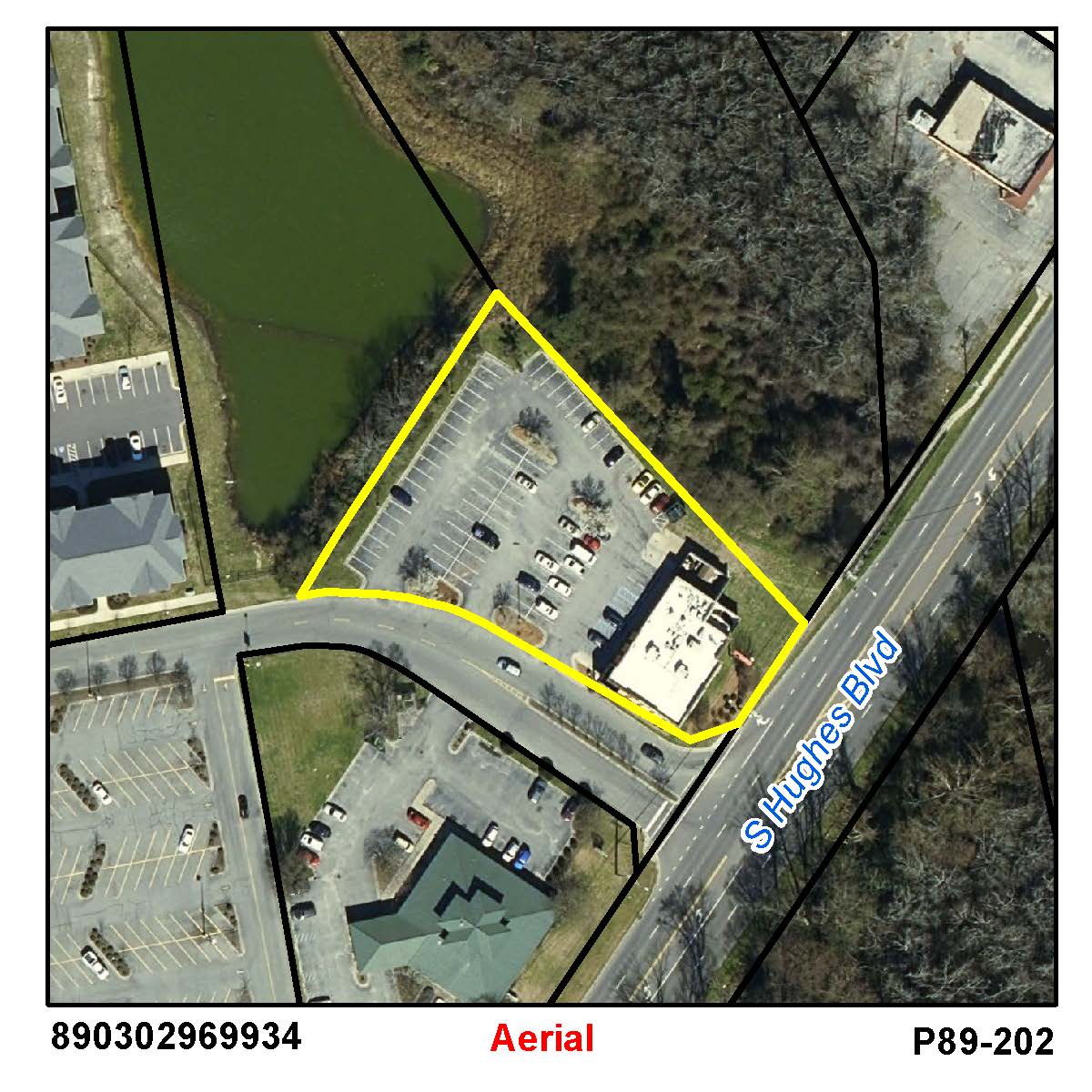
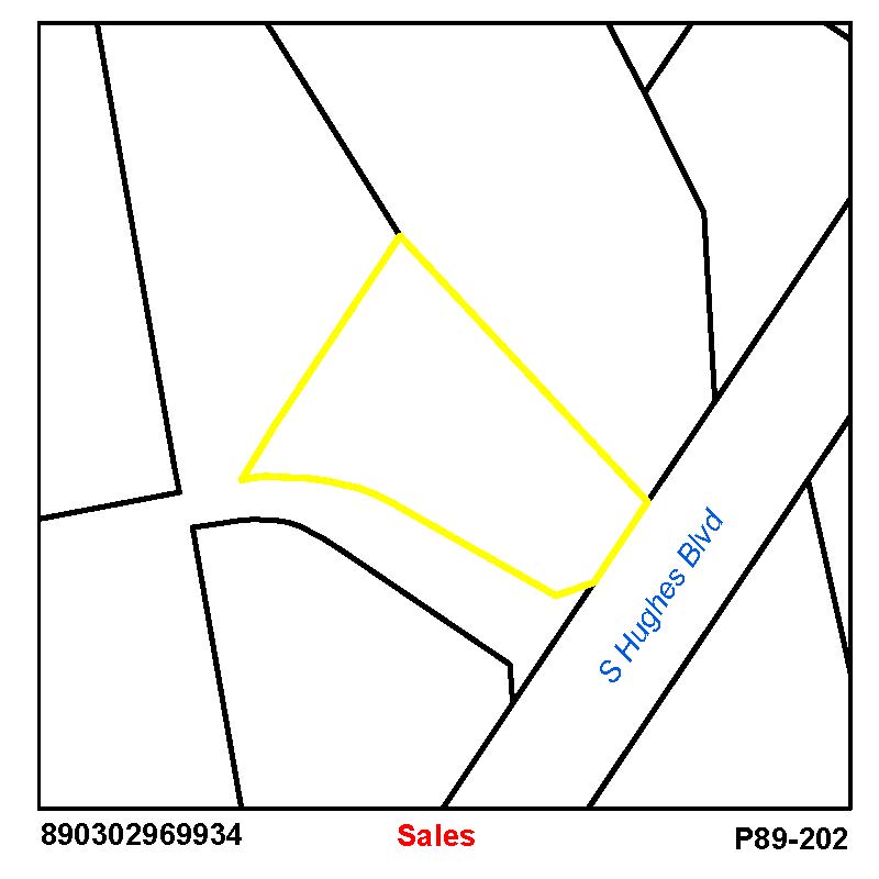
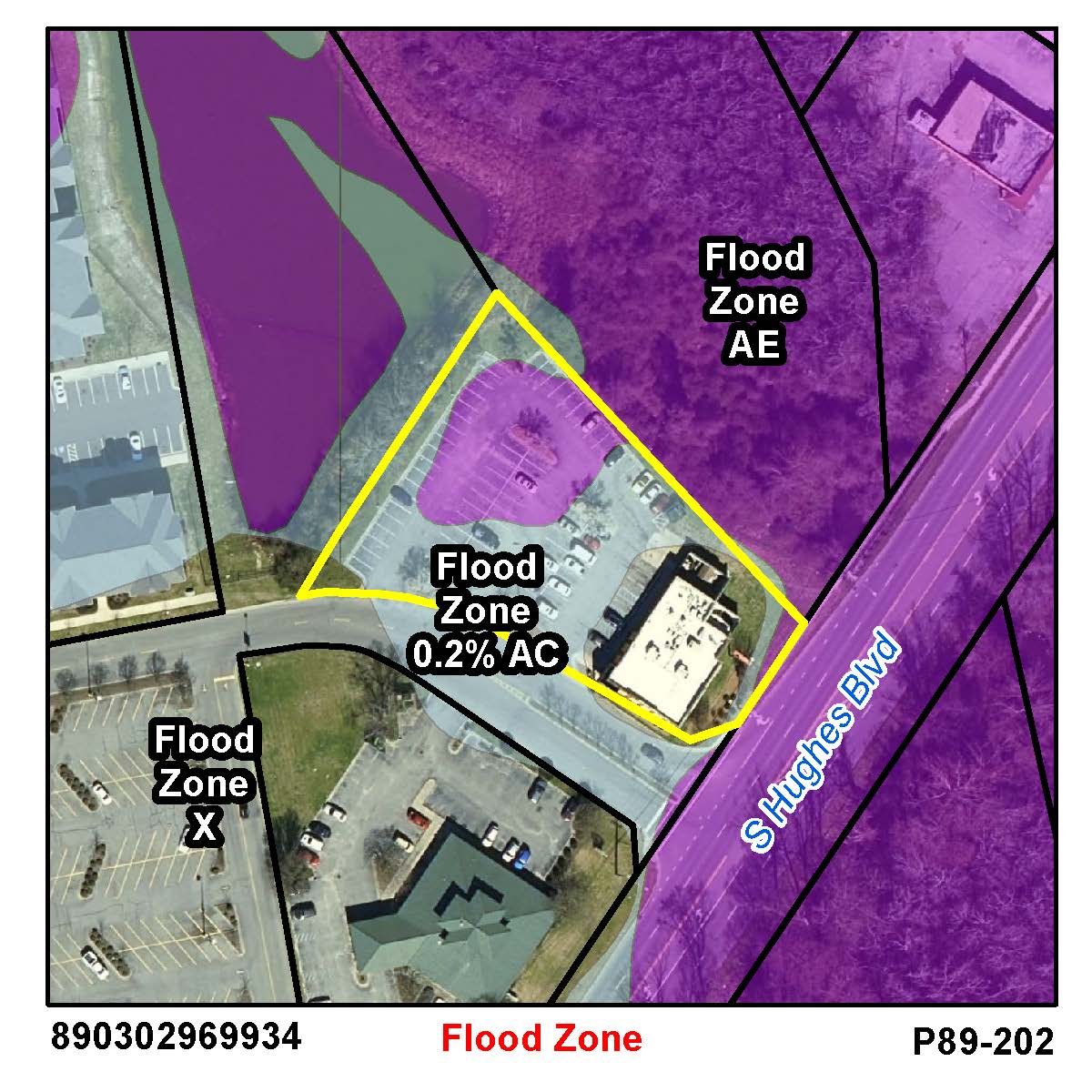
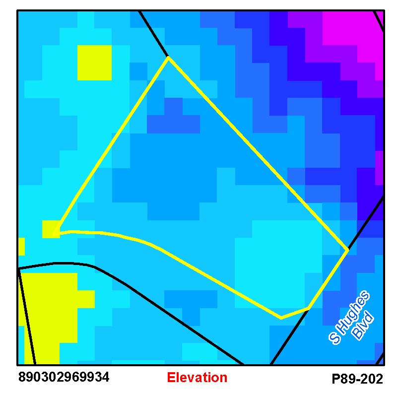
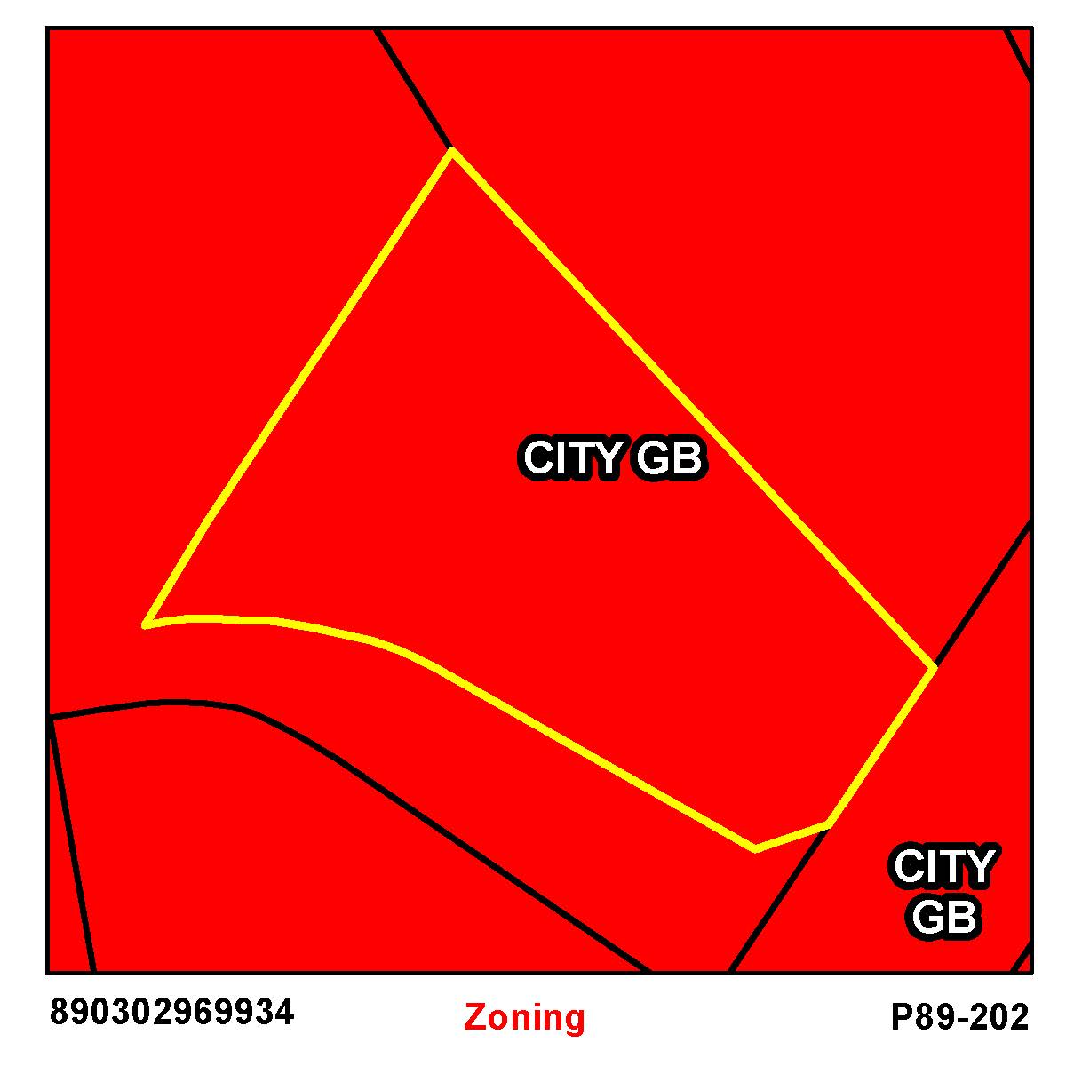
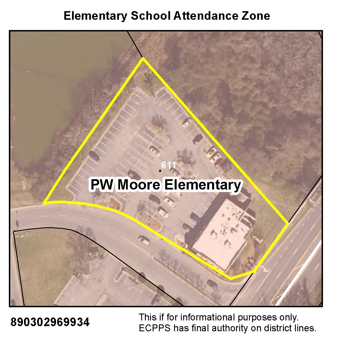
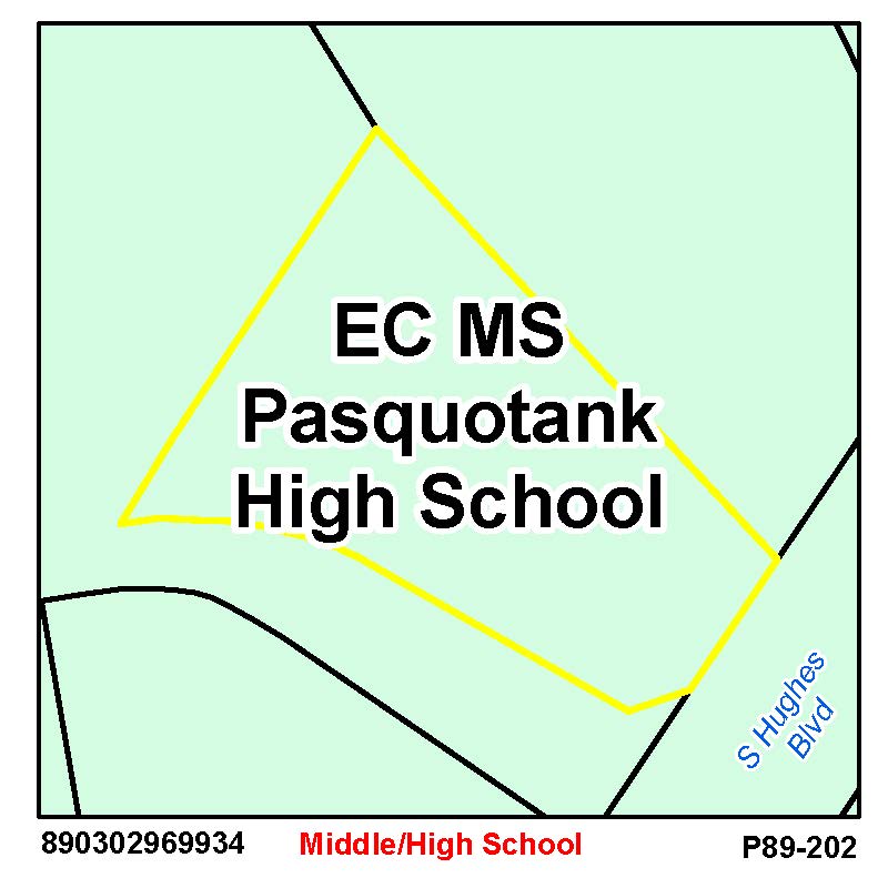
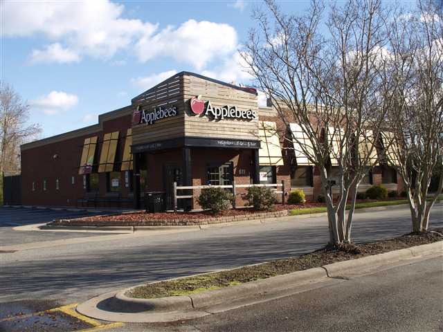
Location: 00611 S HUGHES BLVD


Prior
Evaluation Year: 2006

Current
Evaluation Year: 2014

FOOTHILL TO SUMMIT PROPERTIES IV LLC
ATTN: ASSET MANAGER
10547 SUMMIT LAKE RD NW
OLYMPIA, WA 98502

Acct: 0052885

Estimated County Tax: $13798.4
Estimated City Tax: $11737.6


Land
$426900
$427000
Use Land
$0
$0
Building
$669500
$1365000
Total
$1096400
$1792000
Assessed
$1096400
$1792000
     
Notes APPLEBEES

Click on any thumbnail for a full size map.

Pasquotank Interactive GIS Map

Aerial Map  
Nearby Sales Flood Maps - effective Dec 21, 2018
Elevation Zoning

Historic Imagery

1996
2003
2003 Post-Isabel
2008
2010
2012
2016